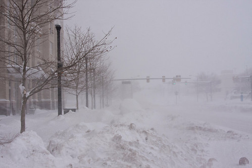
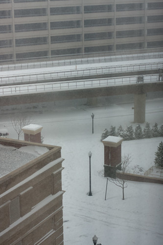
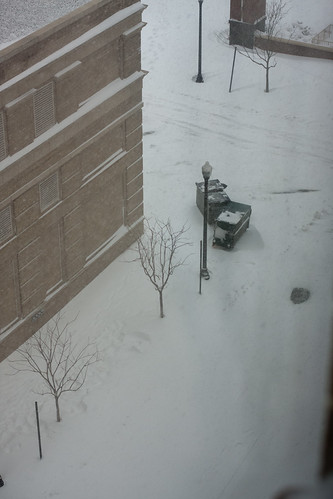
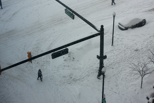
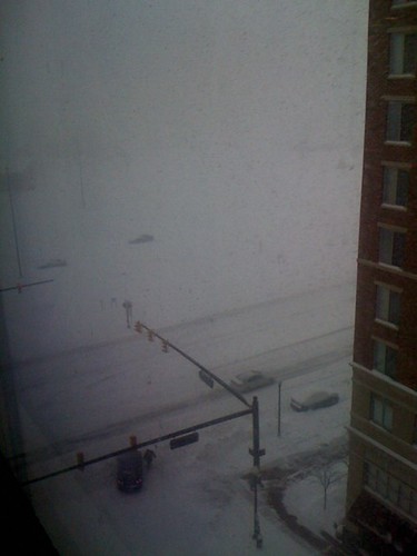
Blizzard of 2010, Part II

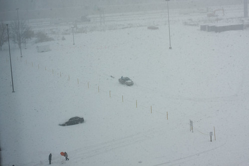
IMG_0496.jpg

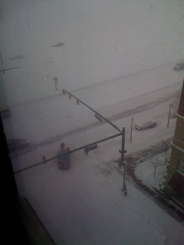
IMG_5312.jpg

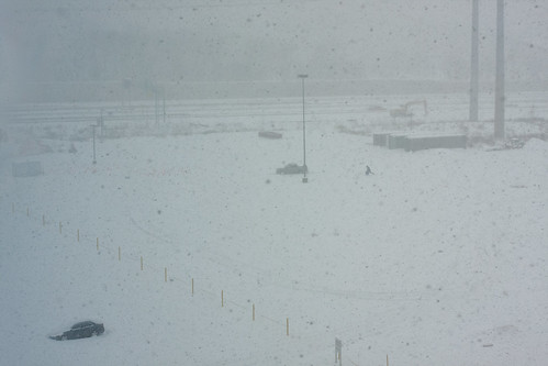
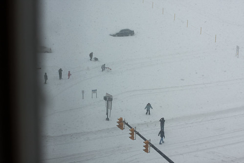
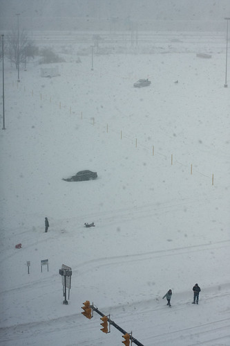
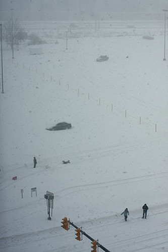
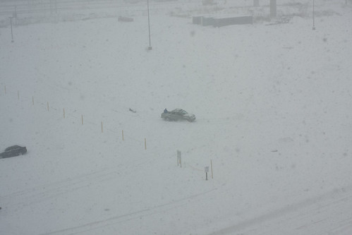
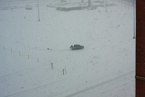
A slideshow of the pictures I've taken, starting when the snow began on Tuesday evening:

The video I took of the enormous snowflakes that started falling around 6:30 pm on Tuesday:

Steffanie took some video of Scarlet, one of our cats, attacking the snowflakes that come too close to the window:

Video from Wednesday mid-day when near-blizzard whiteout conditions were present due to high wind & moderate snow:

Gustav forecast still aimed at central Louisiana coast

This morning's first National Hurricane Center forecast still has Tropical Storm Gustav arriving at the Louisiana coast just south of Morgan City and Houma at 1 a.m. Tuesday as a major Category 3 hurricane with top winds of 115 mph.

Such a strong storm is likely to be accompanied by significant storm surge to the east of its central area, and its surge could be higher than that caused by a 115 mph storm, as Gustav is expected to have winds near 130 mph, Category 4 strength, 12 hours before landfall.

The 4 a.m. forecast would have Gustav move slowly west northwest over New Iberia after its initial landfall, taking a full day to reach Lake Charles, still as a Category 2 hurricane with winds of close to 100 mph. Such a slow passage would likely bring intense rainfall to most of south Louisiana.

National Hurricane Center hurricane specialist Eric Blake, a Metairie native, and senior hurricane specialist Lixion Avila warn that computer model results remain mixed, as do the weather conditions that could affect Gustav's movements once it reaches the Gulf of Mexico on Sunday.

The key players are a high pressure system expected to build south over the central United States and a lower pressure upper level trough that's still stretched down the Mississippi valley. Some models indicate the low pressure could move west, bringing Gustav with it.

But 1 a.m. runs for two key models continue to bracket Louisiana, with the GFDL shifted slightly east to a potential landfall in the vicinity of Pascagoula, Miss., and Mobile, Ala., and the HWRF remaining along the same path as the official forecast.

Meanwhile, Gustav remains a tropical storm this morning, with 60 mph winds, as it continues to move west northwest on the shoreline of mountainous Jamaica with the bulk of its thunderstorm activity onshore. An Air Force reconnaissance plan found the cloud cover of the storm to have significantly expanded, which seems to confirm an expected intensification once Gustav moves farther into the northern Caribbean.

The official forecast has Gustav as a hurricane by 1 a.m. Saturday, and a Category 3 hurricane as it enters the Gulf of Mexico Sunday morning.

Storm Update: Hurricane Gustav

Tropical Storm Gustav has regained near hurricane strength this morning and may poses a threat to the US and Mexico next week. There is a lot of uncertainty and always a chance the storm will fizzle out or move away from populated areas. But an educated guess based on current data suggests something like a 50/50 chance that Gustav could make landfall early next week as a hurricane somewhere on the US Gulf Coast.

The image right shows the Tropical Cyclone Heat Potential (TCHP) for the Gulf of Mexico on August 24, 2008. The TCHP is a measure of storm producing and storm intensifying heat potential contained in given volume of ocean (The units are Kilojoules per square centimeter, not degrees).

The arrows between the Yucatan and west end of Cuba that turn and flow past the tip of Florida represent the Loop Current. The Loop is a massive current of warm, deep water that acts like a turbo-charger on any atmopsheric heat engine that might pass nearby. And, sometimes, pieces of the current break off ... Jeff Masters takes it from there:

When a Loop Current Eddy breaks off in the Gulf of Mexico at the height of hurricane season, it can lead to a dangerous situation where a vast reservoir of energy is available to any hurricane that might cross over. This occurred in 2005, when a Loop Current Eddy separated in July, just before Hurricane Katrina passed over and "bombed" into a Category 5 hurricane. ... This year, we had another Loop Current Eddy break off in July. This eddy is now positioned due south of New Orleans (Figure 2), and this eddy has similar levels of heat energy to the 2005 eddy that powered Katrina and Rita. Should Gustav pass over or just to the left of this eddy, we can expect the storm to significantly intensify.

The Aug 2008 Loop Current and breakaway hotspots are just one piece in a puzzle that's looking more and more similar to the 2004 and 2005 record setting storm seasons. If you live in or near a risk area, make plans, stock up now, know exactly where nearby shelters are. Pay attention to NHC updates, know what routes you are going to take and, if possible, your end destination in the event you have to evacuate. Better yet, for those in especially high risk areas, consider celebrating an extended Labor Day weekend well inland with friends or family.